
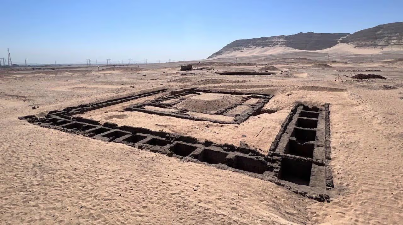
A new digital analysis of a historic photograph suggests that Meretneith, who lived around 5,000 years ago, was depicted in a lost seal bearing the symbol of Egyptian rulers. In her tomb, the only monumental one dedicated to a woman in the necropolis of Abydos, archaeologists found traces of lives, …
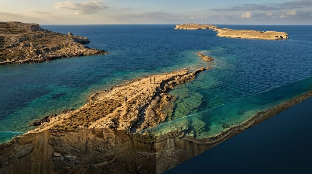
Sicily and Malta could be reached on foot: the land bridge submerged 22,000 years ago was rebuilt
About 22,000 years ago, the lowering of sea levels by more than 100 meters caused a land corridor to emerge between Sicily and Malta. This natural bridge allowed the passage of animals and human communities, before being progressively submerged until it disappeared at the end of the Pleistocene. About 22,000 …
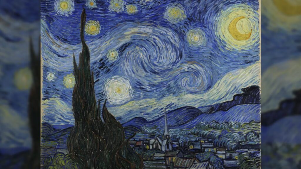
Van Gogh’s Starry Night could depict the real sky of July 22, 1889, the study
Did the sky in Van Gogh’s Starry Night really exist? A study published in Scientific Reports identifies a possible astronomical configuration observable at dawn on July 22, 1889, but the astronomical reconstruction divides experts and reopens the debate on dating. It is without a doubt among the most famous works …